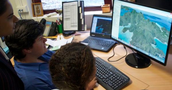
Spatial skills pinpoint the worth of ‘where’
Booming spatial industry urgently needs young talent to avert a skills shortage
28 January, 2016
Booming spatial industry urgently needs young talent to avert a skills shortage
28 January, 2016
Developers reject new $20,000 per unit tax.
9 December, 2015
By Paul Hemsley The Victorian government has moved to substantially broaden its collection of ‘open data’ available to industry and software developers by making more geospatial information available that pinpoints the geographic location of the state’s natural and constructed boundaries and features. It is the latest addition to the Victorian government’s public open data website […]
23 September, 2013
By Paul Hemsley Queensland Premier Campbell Newman has officially launched a new free computer program called ‘Queensland Globe’ that he claims will allow users to apply state government data to Google Earth satellite images as the latest part of the government’s push for a so-called ‘open data revolution’. The launch is the latest part of […]
4 April, 2013End of content
No more pages to load
Michael Andjelkovic on: Council takes on NSW government in court
jdvukovic@bigpond.com on: Council takes on NSW government in court
Tyrone Peter Fernandes on: NSW announces biosecurity appointments