How location intelligence can prepare Australia for El Niño
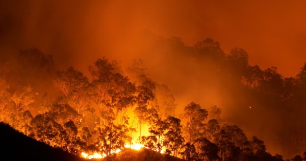
By harnessing aerial imagery, governments and organisations can optimise disaster impact assessments, resource allocation, and recovery operations.
30 July, 2023
By harnessing aerial imagery, governments and organisations can optimise disaster impact assessments, resource allocation, and recovery operations.
30 July, 2023End of content
No more pages to load
Margaret Times on: Government offloads Airservices boss
Moses Black on: Planning policies and book bans: NSW councils clash with state
Jojo on: Planning policies and book bans: NSW councils clash with state