How location intelligence can prepare Australia for El Niño
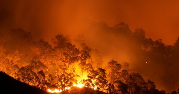
By harnessing aerial imagery, governments and organisations can optimise disaster impact assessments, resource allocation, and recovery operations.
30 July, 2023
By harnessing aerial imagery, governments and organisations can optimise disaster impact assessments, resource allocation, and recovery operations.
30 July, 2023
Artificial intelligence is transforming the geographic information systems (GIS) industry.
21 October, 2021
A new geospatial tool has been released that’s designed help local governments plan for severe weather events.
16 September, 2021End of content
No more pages to load
Garth Daddy on: War memorial contracts fudged, audit finds
Roger Buhlert on: New VLGA appointment vows to lift governance standards
Roger Buhlert on: APS hybrid work is here to stay, report finds