Locate14 – Australia’s latest geospatial conference – has now wrapped up. The Locate14 conference and exhibition replaced three previous national events – the spatial@gov Conference, the Surveying & Spatial Sciences Conference (SSSC) and the Asia- Pacific Spatial Excellence Awards (APSEA) – combining to form a single Australian and New Zealand spatial industry event, and the central meeting point of industry leaders, government, and academia in one of the fastest growing industries in Australia.
Speakers at the conference included such high-profile names as:
• The Hon Malcolm Turnbull MP, Minister for Communications
• Peter Woodgate, CEO of the Cooperative Research Centre for Spatial Information (CRCSI)
• Glenn Appleyard, Chairman, PSMA Australia Limited
• Drew Clarke PSM, Secretary of the Commonwealth Department of Communications
• Peter Mersi, Chief Executive of Land Information New Zealand (LINZ)
• Denise McKenzie, Executive Director, Communications and Outreach for Open Geospatial Consortium (OGC), UK
• Christopher Tucker, Founder and CEO of MapStory, USA
• Rachael Robertson, former Antarctic expedition leader
The themes of the conference included:
• Locating the Digital Economy
• Innovative Technologies
• Spatial (Smart) Cities
• National Security
• Think Spatially (Spatial for a Non-Spatial World)
• The Changing Landscape of Surveying
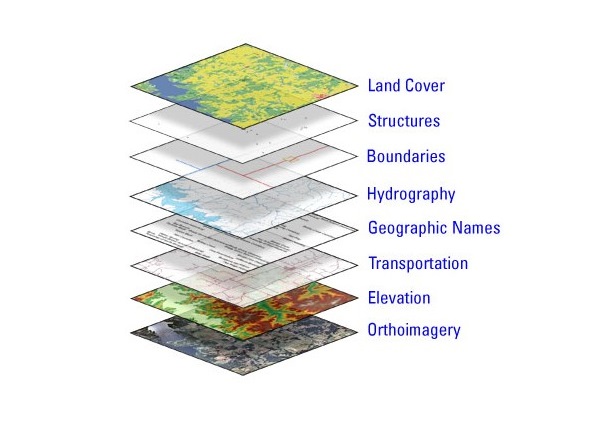
Geospatial information is information describing the location and names of features beneath, on or above the earth’s surface. It can be something as simple as a contour map, as technical as a 3D laser scan of an area, or as broad as a satellite image.
The ‘geospatial industry’ broadly covers the creators, analysers, re-sellers, and custodians of geospatial information – including surveys, aerial photography, address data etc. – and corresponding tools – including surveying equipment, drones/UAVs, GPS & imaging satellites, analytical software (GIS) etc.
Geospatial information powers and supports a wide range of business, government and community activities, including mining, transport & navigation, many public services, and more. According to European economics firm, Oxera Consulting Ltd, in a January 2013 report, global revenues from geospatial services and products are estimated between $150 to $270 billion USD per year.
The reliance on, and demand for, location information is continuing to grow, and its value to the Australian economy is undeniable. This was a recurring theme throughout the conference, as well as how the geospatial industry can adapt to its growing user base, particularly in a now mobile world.
Next year’s event, Locate15, was also announced, and will run from 10-12 March 2015 at the Brisbane Convention and Exhibition Centre.
Comment below to have your say on this story.
If you have a news story or tip-off, get in touch at editorial@governmentnews.com.au.
Sign up to the Government News newsletter