
The NSW government says a new open platform ‘digital twin’ will improve the design, planning and operation of infrastructure, precincts and communities while breaking down government silos.

The tool, which provides real time information and visualisation of future planning scenarios, will also help councils and industy to collaborate and share data, Minister for Customer Service Victor Dominello said at its launch this week.
The NSW Spatial Digital Twin provides 3D and 4D digital spatial data and models of built and natural environments, both above ground and underground.
The tool was developed by the government’s Spatial Services division in partnership with CSIRO’s Data61.
The interactive tool includes 22 million trees with height and canopy attributes, close to 20,000km of 3D roads, 7,000 3D strata plans and 546,206 buildings.
Precision-like modelling
Mr Dominello said the data produced by the tool enables precision-like modelling.
“You couldn’t do this before. Before, we were anchored into the 20th century using paper,” he told reporters.
“Now we can use digital to see what today and tomorrow looks like.”
The tool has mapped Western Sydney covering Blue Mountains, Camden, Campbelltown, Fairfield, Hawkesbury, Liverpool, Penrith and Wollondilly councils.
It will eventually be rolled out across the state.
“We will work with other councils to extend it right across NSW as time progresses,” Mr Dominello said.

Open source platform
Other states are currently using digital twins, but these are all closed platforms.
“The beauty of this is that we realise that it’s an asset for everyone in NSW – industries, residents, communities. They can all access it, and information is power,” Mr Dominello said.
The NSW Spatial Collaboration Portal, which sits alongside the digital twin, provides a platform for local, state and federal agencies to deliver datasets across the state.
Marie Truelove, Geospatial Product Lead at Data61, said the tool will help break down silos within government.
Most government agencies are custodians of authoritative datasets that they use to make decisions, she said.
This tool will enable them to collaborate with each other and share that data more effectively, which will lead to better decisions.
“Instead of having their own data, they can easily pull in data from other local governments, the state government and the Australian government to make better decisions,” she told Government News.
Sharing data securely
Mats Henrikson, Group Leader of Data61, said the platform enables councils to share data securely.
“For example, the water mains in one council runs up against the water mains in another council, and it’s important to have that kind of data crossing over,” he told Government News.
Ms Truelove said the benefits of the platform being open is that it is available to everyone.
“Data is power. If you can understand the plans that are going on in your community, and you can look to the past and you can bring all that together, it’s just really powerful. “
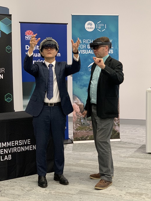
Data61 is looking to use augmented reality to bring digital twins to life. In the future, construction workers and building inspectors could be wearing headsets to view a building’s digital twin.
The tool will continue to be developed in collaboration with local, state and federal government agencies and industry partners to expand its capacity beyond Western Sydney.
Comment below to have your say on this story.
If you have a news story or tip-off, get in touch at editorial@governmentnews.com.au.
Sign up to the Government News newsletter
One thought on “‘Digital twin’ opens new horizons in planning”
Leave a comment:
Most read
Scathing report finds little has changed at PwC
Qld council welcomes progress on massive battery system
Inquiry to consider how federal govt can address councils’ sustainability issues
‘Local’ procurement turns out not to be so local, committee hears
Another report finds local government falling down on cyber security
Can’t wait to know more about the digital twin. Please reveal all the details real soon!