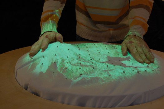
Assistant Minister for Cities and Digital Transformation, Angus Taylor, explores spatial data
in virtual reality at Locate17.
The launch of a new Location Information Knowledge Platform (or LINK for short) delivers an exciting new era of open access to essential spatial datasets across all levels of government and Australia’s different states and territories.
LINK was announced last week at the Locate17 and Digital Earth Symposium held in Sydney, and creates simplified access to a wealth of fundamental spatial datasets. Before the advent of LINK, access to these data could only occur by conducting extensive searches across nine jurisdictions of Australia. All up, LINK incorporates datasets from no less than 73 agencies: 26 federal agencies; 40 state and territory-based agencies; 4 commercial agencies; and 3 non-jurisdictional agencies.
LINK is already up and running to deliver open public location datasets via cloud services to all users. It takes the conceptual Foundation Spatial Data Framework (FSDF), first published in 2012, and delivers a comprehensive online knowledge base.
The extensive range of FSDF datasets already available via LINK help define locations and spatial extent of a range of data across ten broad themes:
- Geocoded Addressing
- Administrative Boundaries
- Positioning
- Place Names
- Land Parcel and Property
- Imagery
- Transport
- Water
- Elevation and Depth
- Land Cover
Read more here.
This story first appeared in Spatial Source.
Comment below to have your say on this story.
If you have a news story or tip-off, get in touch at editorial@governmentnews.com.au.
Sign up to the Government News newsletter
Related stories

Most read
Scathing report finds little has changed at PwC
Qld council welcomes progress on massive battery system
Inquiry to consider how federal govt can address councils’ sustainability issues
‘Local’ procurement turns out not to be so local, committee hears
Another report finds local government falling down on cyber security